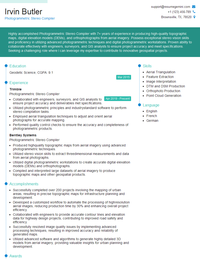
Are you a seasoned Photogrammetric Stereo Compiler seeking a new career path? Discover our professionally built Photogrammetric Stereo Compiler Resume Template. This time-saving tool provides a solid foundation for your job search. Simply click “Edit Resume” to customize it with your unique experiences and achievements. Customize fonts and colors to match your personal style and increase your chances of landing your dream job. Explore more Resume Templates for additional options.

Irvin Butler
Photogrammetric Stereo Compiler
Summary
Highly accomplished Photogrammetric Stereo Compiler with 7+ years of experience in producing high-quality topographic maps, digital elevation models (DEMs), and orthophotographs from aerial imagery. Possess exceptional stereo vision skills and proficiency in utilizing advanced photogrammetric techniques and digital photogrammetric workstations. Proven ability to collaborate effectively with engineers, surveyors, and GIS analysts to ensure project accuracy and meet specifications. Seeking a challenging role where I can leverage my expertise to contribute to innovative geospatial projects.
Education
Geodetic Science
March 2015
Skills
- Aerial Triangulation
- Feature Extraction
- Image Interpretation
- DTM and DSM Production
- Orthophoto Production
- Point Cloud Generation
Work Experience
Photogrammetric Stereo Compiler
- Collaborated with engineers, surveyors, and GIS analysts to ensure project accuracy and deliverables met specifications.
- Utilized photogrammetric principles and industrystandard software to perform stereo compilation tasks.
- Employed aerial triangulation techniques to adjust and orient aerial photographs for accurate mapping.
- Performed quality control checks to ensure the accuracy and completeness of photogrammetric products.
Photogrammetric Stereo Compiler
- Produced highquality topographic maps from aerial imagery using advanced photogrammetric techniques.
- Utilized stereo vision skills to extract threedimensional measurements and data from aerial photographs.
- Utilized digital photogrammetric workstations to create accurate digital elevation models (DEMs) and orthophotographs.
- Compiled and interpreted large datasets of aerial imagery to produce topographic maps and other geospatial products.
Accomplishments
- Successfully completed over 200 projects involving the mapping of urban areas, resulting in precise topographic maps for infrastructure planning and development.
- Developed a customized workflow to automate the processing of highresolution aerial images, reducing production time by 30% and enhancing overall project efficiency.
- Collaborated with engineers to provide accurate contour lines and elevation data for highway design projects, contributing to improved road safety and efficiency.
- Successfully resolved image quality issues by implementing advanced processing techniques, resulting in improved accuracy and reliability of generated maps.
- Utilized advanced software and algorithms to generate highly detailed 3D models from aerial imagery, providing valuable insights for urban planning and development.
Awards
- Received annual award for outstanding performance in extracting topographic features and planimetric details from aerial imagery.
- Recognized for exceptional accuracy and efficiency in creating digital elevation models (DEMs) for land development projects.
- Honored with a certificate for developing innovative techniques to improve the precision of orthoimage generation.
- Awarded for exceptional contributions to the field of photogrammetric stereo compilation, recognized for innovative techniques and accuracy in mapping projects.
Certificates
- Certified Photogrammetrist (CP)
- Certified Remote Sensing Analyst (CRSA)
- Certified GIS Professional (GISP)
- ASPRS Level I Certified Photogrammetrist
Career Expert Tips:
- Select the ideal resume template to showcase your professional experience effectively.
- Master the art of resume writing to highlight your unique qualifications and achievements.
- Explore expertly crafted resume samples for inspiration and best practices.
- Build your best resume for free this new year with ResumeGemini. Enjoy exclusive discounts on ATS optimized resume templates.
How To Write Resume For Photogrammetric Stereo Compiler
- Highlight your proficiency in aerial triangulation, image interpretation, and digital photogrammetric software.
- Showcase your ability to produce high-quality topographic maps, DEMs, and orthophotographs.
- Emphasize your experience collaborating with engineers, surveyors, and GIS analysts.
- Quantify your accomplishments with specific metrics, such as the number of maps produced or the accuracy of your products.
Essential Experience Highlights for a Strong Photogrammetric Stereo Compiler Resume
- Utilized advanced photogrammetric techniques and stereo vision skills to extract three-dimensional measurements and data from aerial photographs
- Leveraged digital photogrammetric workstations to create accurate digital elevation models (DEMs) and orthophotographs
- Compiled and interpreted large datasets of aerial imagery to produce topographic maps and other geospatial products
- Collaborated with engineers, surveyors, and GIS analysts to ensure project accuracy and deliverables met specifications
- Employed aerial triangulation techniques to adjust and orient aerial photographs for accurate mapping
- Performed quality control checks to ensure the accuracy and completeness of photogrammetric products
Frequently Asked Questions (FAQ’s) For Photogrammetric Stereo Compiler
What is the role of a Photogrammetric Stereo Compiler?
A Photogrammetric Stereo Compiler utilizes advanced photogrammetric techniques and stereo vision skills to extract three-dimensional measurements and data from aerial photographs. They create digital elevation models (DEMs), orthophotographs, and topographic maps from aerial imagery.
What skills are required to be a successful Photogrammetric Stereo Compiler?
Key skills include proficiency in aerial triangulation, image interpretation, and digital photogrammetric software. Strong stereo vision skills and the ability to produce high-quality topographic maps, DEMs, and orthophotographs are essential.
What industries employ Photogrammetric Stereo Compilers?
Photogrammetric Stereo Compilers are employed in various industries, including surveying, mapping, engineering, forestry, and environmental sciences.
What is the career outlook for Photogrammetric Stereo Compilers?
The job outlook for Photogrammetric Stereo Compilers is expected to grow in the coming years due to the increasing demand for geospatial data and the advancements in photogrammetric technology.
How can I prepare for a career as a Photogrammetric Stereo Compiler?
To prepare for a career as a Photogrammetric Stereo Compiler, you should pursue a degree in geodetic science, geomatics, or a related field. Additionally, gaining experience in aerial photo interpretation and photogrammetric software is beneficial.