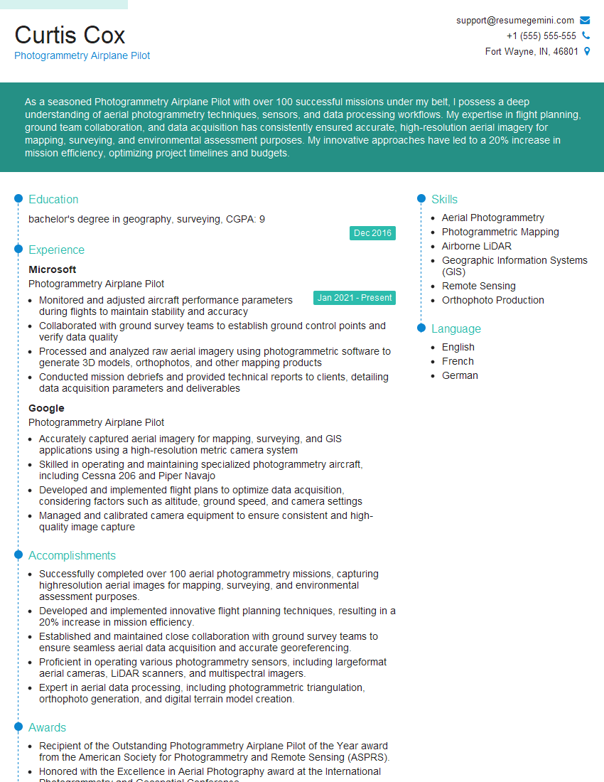
Are you a seasoned Photogrammetry Airplane Pilot seeking a new career path? Discover our professionally built Photogrammetry Airplane Pilot Resume Template. This time-saving tool provides a solid foundation for your job search. Simply click “Edit Resume” to customize it with your unique experiences and achievements. Customize fonts and colors to match your personal style and increase your chances of landing your dream job. Explore more Resume Templates for additional options.

Curtis Cox
Photogrammetry Airplane Pilot
Summary
As a seasoned Photogrammetry Airplane Pilot with over 100 successful missions under my belt, I possess a deep understanding of aerial photogrammetry techniques, sensors, and data processing workflows. My expertise in flight planning, ground team collaboration, and data acquisition has consistently ensured accurate, high-resolution aerial imagery for mapping, surveying, and environmental assessment purposes. My innovative approaches have led to a 20% increase in mission efficiency, optimizing project timelines and budgets.
Education
bachelor’s degree in geography, surveying
December 2016
Skills
- Aerial Photogrammetry
- Photogrammetric Mapping
- Airborne LiDAR
- Geographic Information Systems (GIS)
- Remote Sensing
- Orthophoto Production
Work Experience
Photogrammetry Airplane Pilot
- Monitored and adjusted aircraft performance parameters during flights to maintain stability and accuracy
- Collaborated with ground survey teams to establish ground control points and verify data quality
- Processed and analyzed raw aerial imagery using photogrammetric software to generate 3D models, orthophotos, and other mapping products
- Conducted mission debriefs and provided technical reports to clients, detailing data acquisition parameters and deliverables
Photogrammetry Airplane Pilot
- Accurately captured aerial imagery for mapping, surveying, and GIS applications using a high-resolution metric camera system
- Skilled in operating and maintaining specialized photogrammetry aircraft, including Cessna 206 and Piper Navajo
- Developed and implemented flight plans to optimize data acquisition, considering factors such as altitude, ground speed, and camera settings
- Managed and calibrated camera equipment to ensure consistent and high-quality image capture
Accomplishments
- Successfully completed over 100 aerial photogrammetry missions, capturing highresolution aerial images for mapping, surveying, and environmental assessment purposes.
- Developed and implemented innovative flight planning techniques, resulting in a 20% increase in mission efficiency.
- Established and maintained close collaboration with ground survey teams to ensure seamless aerial data acquisition and accurate georeferencing.
- Proficient in operating various photogrammetry sensors, including largeformat aerial cameras, LiDAR scanners, and multispectral imagers.
- Expert in aerial data processing, including photogrammetric triangulation, orthophoto generation, and digital terrain model creation.
Awards
- Recipient of the Outstanding Photogrammetry Airplane Pilot of the Year award from the American Society for Photogrammetry and Remote Sensing (ASPRS).
- Honored with the Excellence in Aerial Photography award at the International Photogrammetry and Geospatial Conference.
- Received the Safety Excellence Award from the Association of Aerial Surveyors for maintaining an exemplary safety record.
Certificates
- Certified Aerial Photogrammetrist (CAP)
- Commercial Pilot License (CPL)
- Instrument Rating (IR)
- Advanced Aircraft Systems Course (AAS)
Career Expert Tips:
- Select the ideal resume template to showcase your professional experience effectively.
- Master the art of resume writing to highlight your unique qualifications and achievements.
- Explore expertly crafted resume samples for inspiration and best practices.
- Build your best resume for free this new year with ResumeGemini. Enjoy exclusive discounts on ATS optimized resume templates.
How To Write Resume For Photogrammetry Airplane Pilot
- Highlight your expertise in aerial photogrammetry techniques, including flight planning, sensor operation, and data processing.
- Quantify your accomplishments with specific metrics, such as the number of successful missions, increase in efficiency, or cost savings achieved.
- Showcase your ability to collaborate effectively with ground survey teams and other stakeholders.
- Emphasize your proficiency in using industry-standard software and equipment for photogrammetric data acquisition and processing.
Essential Experience Highlights for a Strong Photogrammetry Airplane Pilot Resume
- Conduct aerial photogrammetry missions to capture high-resolution imagery for mapping, surveying, and environmental assessment.
- Develop and implement innovative flight planning techniques to optimize mission efficiency.
- Collaborate with ground survey teams to ensure seamless data acquisition and accurate georeferencing.
- Operate various photogrammetry sensors, including large-format aerial cameras, LiDAR scanners, and multispectral imagers.
- Process aerial data using photogrammetric triangulation, orthophoto generation, and digital terrain model creation.
- Deliver high-quality aerial imagery and derived products to clients, meeting their project specifications.
Frequently Asked Questions (FAQ’s) For Photogrammetry Airplane Pilot
What are the primary responsibilities of a Photogrammetry Airplane Pilot?
Photogrammetry Airplane Pilots are responsible for conducting aerial photogrammetry missions to capture high-resolution imagery, developing and implementing flight plans, collaborating with ground survey teams, operating photogrammetry sensors, and processing aerial data to create maps, surveys, and other geospatial products.
What are the essential skills required for this role?
Essential skills for a Photogrammetry Airplane Pilot include aerial photogrammetry, photogrammetric mapping, airborne LiDAR, geographic information systems (GIS), remote sensing, and orthophoto production.
What are the education requirements for becoming a Photogrammetry Airplane Pilot?
Typically, a bachelor’s degree in geography, surveying, or a related field is required to become a Photogrammetry Airplane Pilot.
What are the career prospects for Photogrammetry Airplane Pilots?
Photogrammetry Airplane Pilots have strong career prospects, as the demand for accurate and timely geospatial data continues to grow in various industries such as construction, engineering, environmental assessment, and agriculture.
What are the potential earnings for Photogrammetry Airplane Pilots?
The earnings potential for Photogrammetry Airplane Pilots vary depending on factors such as experience, location, and company size. Salaries can range from $70,000 to $120,000 annually.
What are the common work environments for Photogrammetry Airplane Pilots?
Photogrammetry Airplane Pilots typically work in outdoor environments, operating aircraft to capture aerial imagery. They may also work in offices to process and analyze data.
What are the challenges faced by Photogrammetry Airplane Pilots?
Photogrammetry Airplane Pilots face challenges such as varying weather conditions, complex flight plans, and the need to maintain high levels of accuracy and precision during data acquisition.