Are you a seasoned Photo Cartographer seeking a new career path? Discover our professionally built Photo Cartographer Resume Template. This time-saving tool provides a solid foundation for your job search. Simply click “Edit Resume” to customize it with your unique experiences and achievements. Customize fonts and colors to match your personal style and increase your chances of landing your dream job. Explore more Resume Templates for additional options.

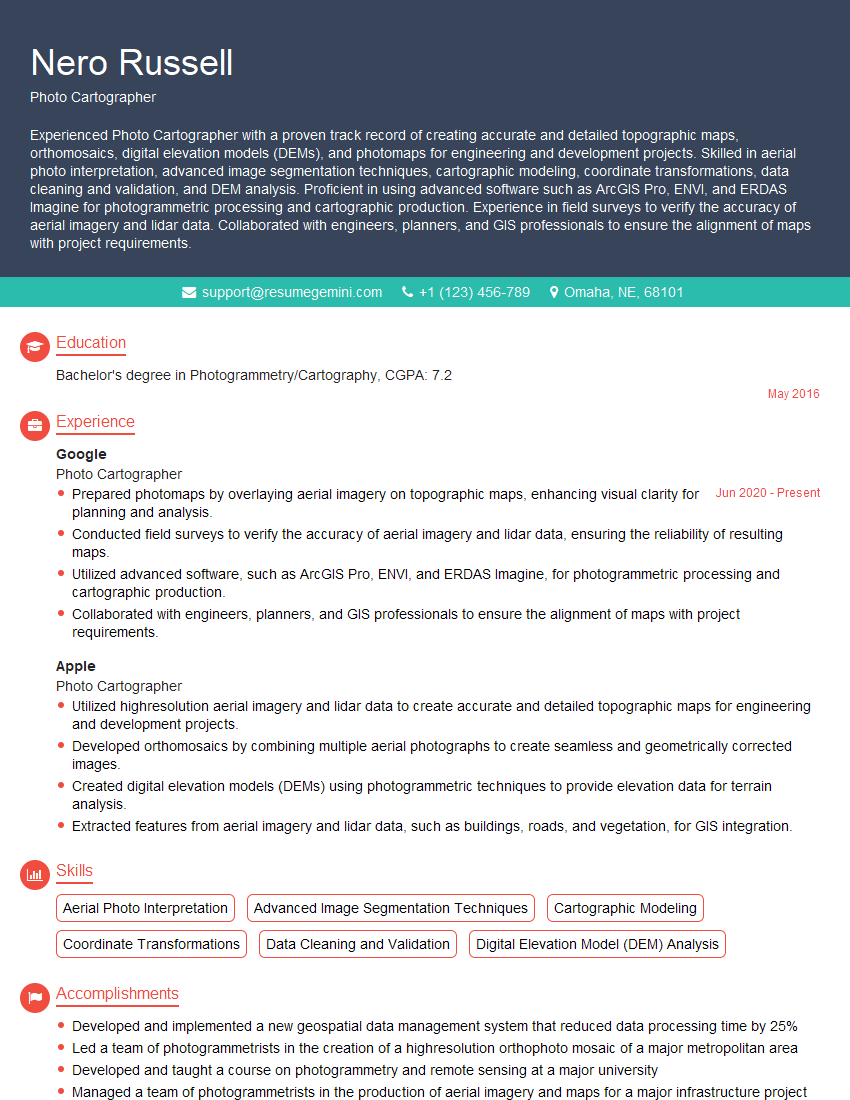
Nero Russell
Photo Cartographer
Summary
Experienced Photo Cartographer with a proven track record of creating accurate and detailed topographic maps, orthomosaics, digital elevation models (DEMs), and photomaps for engineering and development projects. Skilled in aerial photo interpretation, advanced image segmentation techniques, cartographic modeling, coordinate transformations, data cleaning and validation, and DEM analysis. Proficient in using advanced software such as ArcGIS Pro, ENVI, and ERDAS Imagine for photogrammetric processing and cartographic production. Experience in field surveys to verify the accuracy of aerial imagery and lidar data. Collaborated with engineers, planners, and GIS professionals to ensure the alignment of maps with project requirements.
Education
Bachelor’s degree in Photogrammetry/Cartography
May 2016
Skills
- Aerial Photo Interpretation
- Advanced Image Segmentation Techniques
- Cartographic Modeling
- Coordinate Transformations
- Data Cleaning and Validation
- Digital Elevation Model (DEM) Analysis
Work Experience
Photo Cartographer
- Prepared photomaps by overlaying aerial imagery on topographic maps, enhancing visual clarity for planning and analysis.
- Conducted field surveys to verify the accuracy of aerial imagery and lidar data, ensuring the reliability of resulting maps.
- Utilized advanced software, such as ArcGIS Pro, ENVI, and ERDAS Imagine, for photogrammetric processing and cartographic production.
- Collaborated with engineers, planners, and GIS professionals to ensure the alignment of maps with project requirements.
Photo Cartographer
- Utilized highresolution aerial imagery and lidar data to create accurate and detailed topographic maps for engineering and development projects.
- Developed orthomosaics by combining multiple aerial photographs to create seamless and geometrically corrected images.
- Created digital elevation models (DEMs) using photogrammetric techniques to provide elevation data for terrain analysis.
- Extracted features from aerial imagery and lidar data, such as buildings, roads, and vegetation, for GIS integration.
Accomplishments
- Developed and implemented a new geospatial data management system that reduced data processing time by 25%
- Led a team of photogrammetrists in the creation of a highresolution orthophoto mosaic of a major metropolitan area
- Developed and taught a course on photogrammetry and remote sensing at a major university
- Managed a team of photogrammetrists in the production of aerial imagery and maps for a major infrastructure project
- Developed a new method for the automated extraction of topographic features from aerial imagery
Awards
- Recipient of the American Society for Photogrammetry and Remote Sensing (ASPRS) Award of Excellence for Best Paper in Photogrammetric Engineering and Remote Sensing
- Recognized by the International Society for Photogrammetry and Remote Sensing (ISPRS) for outstanding contributions to the field of photogrammetry
- Recipient of the American Society for Photogrammetry and Remote Sensing (ASPRS) Presidential Citation for Outstanding Service
- Recognized by the National GeospatialIntelligence Agency (NGA) for contributions to the development of the Next Generation Geospatial Intelligence (NGG)
Certificates
- Certified Photogrammetrist
- Esri Certified Desktop Associate
- GCP Certified Professional Cartographer
- LiDAR Certificate Program
Career Expert Tips:
- Select the ideal resume template to showcase your professional experience effectively.
- Master the art of resume writing to highlight your unique qualifications and achievements.
- Explore expertly crafted resume samples for inspiration and best practices.
- Build your best resume for free this new year with ResumeGemini. Enjoy exclusive discounts on ATS optimized resume templates.
How To Write Resume For Photo Cartographer
- Highlight your skills in aerial photo interpretation, image segmentation, and cartographic modeling.
- Showcase your experience in using GIS software, such as ArcGIS Pro and ERDAS Imagine.
- Emphasize your ability to work independently and as part of a team.
- Provide examples of how your work has contributed to successful projects.
Essential Experience Highlights for a Strong Photo Cartographer Resume
- Utilizing high-resolution aerial imagery and lidar data to create topographic maps for engineering and development projects.
- Developing orthomosaics by combining multiple aerial photographs to create seamless and geometrically corrected images.
- Creating digital elevation models (DEMs) using photogrammetric techniques to provide elevation data for terrain analysis.
- Extracting features from aerial imagery and lidar data, such as buildings, roads, and vegetation, for GIS integration.
- Preparing photomaps by overlaying aerial imagery on topographic maps, enhancing visual clarity for planning and analysis.
- Conducting field surveys to verify the accuracy of aerial imagery and lidar data, ensuring the reliability of resulting maps.
- Utilizing advanced software, such as ArcGIS Pro, ENVI, and ERDAS Imagine, for photogrammetric processing and cartographic production.
Frequently Asked Questions (FAQ’s) For Photo Cartographer
What is the role of a Photo Cartographer?
A Photo Cartographer is responsible for creating maps and other visual representations of data using aerial photographs and other imagery.
What skills are required to be a Photo Cartographer?
Photo Cartographers need to have strong skills in aerial photo interpretation, image segmentation, cartographic modeling, and GIS software.
What is the job outlook for Photo Cartographers?
The job outlook for Photo Cartographers is expected to be good over the next few years.
What is the salary range for Photo Cartographers?
The salary range for Photo Cartographers varies depending on experience and location.
What are the benefits of being a Photo Cartographer?
Benefits of being a Photo Cartographer include the opportunity to work on a variety of projects, the ability to use your creativity, and the chance to make a positive impact on the world.