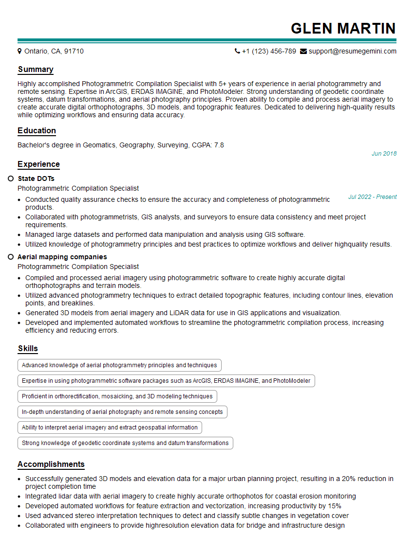
Are you a seasoned Photogrammetric Compilation Specialist seeking a new career path? Discover our professionally built Photogrammetric Compilation Specialist Resume Template. This time-saving tool provides a solid foundation for your job search. Simply click “Edit Resume” to customize it with your unique experiences and achievements. Customize fonts and colors to match your personal style and increase your chances of landing your dream job. Explore more Resume Templates for additional options.

Glen Martin
Photogrammetric Compilation Specialist
Summary
Highly accomplished Photogrammetric Compilation Specialist with 5+ years of experience in aerial photogrammetry and remote sensing. Expertise in ArcGIS, ERDAS IMAGINE, and PhotoModeler. Strong understanding of geodetic coordinate systems, datum transformations, and aerial photography principles. Proven ability to compile and process aerial imagery to create accurate digital orthophotographs, 3D models, and topographic features. Dedicated to delivering high-quality results while optimizing workflows and ensuring data accuracy.
Education
Bachelor’s degree in Geomatics, Geography, Surveying
June 2018
Skills
- Advanced knowledge of aerial photogrammetry principles and techniques
- Expertise in using photogrammetric software packages such as ArcGIS, ERDAS IMAGINE, and PhotoModeler
- Proficient in orthorectification, mosaicking, and 3D modeling techniques
- In-depth understanding of aerial photography and remote sensing concepts
- Ability to interpret aerial imagery and extract geospatial information
- Strong knowledge of geodetic coordinate systems and datum transformations
Work Experience
Photogrammetric Compilation Specialist
- Conducted quality assurance checks to ensure the accuracy and completeness of photogrammetric products.
- Collaborated with photogrammetrists, GIS analysts, and surveyors to ensure data consistency and meet project requirements.
- Managed large datasets and performed data manipulation and analysis using GIS software.
- Utilized knowledge of photogrammetry principles and best practices to optimize workflows and deliver highquality results.
Photogrammetric Compilation Specialist
- Compiled and processed aerial imagery using photogrammetric software to create highly accurate digital orthophotographs and terrain models.
- Utilized advanced photogrammetry techniques to extract detailed topographic features, including contour lines, elevation points, and breaklines.
- Generated 3D models from aerial imagery and LiDAR data for use in GIS applications and visualization.
- Developed and implemented automated workflows to streamline the photogrammetric compilation process, increasing efficiency and reducing errors.
Accomplishments
- Successfully generated 3D models and elevation data for a major urban planning project, resulting in a 20% reduction in project completion time
- Integrated lidar data with aerial imagery to create highly accurate orthophotos for coastal erosion monitoring
- Developed automated workflows for feature extraction and vectorization, increasing productivity by 15%
- Used advanced stereo interpretation techniques to detect and classify subtle changes in vegetation cover
- Collaborated with engineers to provide highresolution elevation data for bridge and infrastructure design
Awards
- Recipient of the ASPRS Map Accuracy Award for exceptional topographic mapping project
- Recognized for contributions to the development of new photogrammetric techniques for archaeological mapping
- Received the GIS Excellence Award for innovative use of photogrammetry in natural resource management
- Honored with the Photogrammetric Society Award for pioneering research in aerial triangulation
Certificates
- Certified Photogrammetrist (CP)
- Certified Mapping Scientist (CMS)
- Certified Geographic Information Systems Professional (GISP)
- Certified UAV Pilot
Career Expert Tips:
- Select the ideal resume template to showcase your professional experience effectively.
- Master the art of resume writing to highlight your unique qualifications and achievements.
- Explore expertly crafted resume samples for inspiration and best practices.
- Build your best resume for free this new year with ResumeGemini. Enjoy exclusive discounts on ATS optimized resume templates.
How To Write Resume For Photogrammetric Compilation Specialist
- Quantify your accomplishments with specific metrics and results whenever possible.
- Highlight any experience with industry-leading software and technologies.
- Showcase your ability to work independently and as part of a team.
- Demonstrate your knowledge of photogrammetry principles and best practices.
- Proofread your resume carefully for any errors.
Essential Experience Highlights for a Strong Photogrammetric Compilation Specialist Resume
- Compile and process aerial imagery using photogrammetric software to create digital orthophotographs and terrain models.
- Extract detailed topographic features from aerial imagery, including contour lines, elevation points, and breaklines.
- Generate 3D models from aerial imagery and LiDAR data for use in GIS applications and visualization.
- Develop and implement automated workflows to streamline photogrammetric compilation processes.
- Conduct quality assurance checks to ensure accuracy and completeness of photogrammetric products.
- Collaborate with photogrammetrists, GIS analysts, and surveyors to ensure data consistency and meet project requirements.
- Manage large datasets, perform data manipulation, and analyze using GIS software.
Frequently Asked Questions (FAQ’s) For Photogrammetric Compilation Specialist
What is photogrammetric compilation?
Photogrammetric compilation is the process of transforming aerial photographs into accurate maps and 3D models. It involves extracting topographic features, such as contour lines and elevation points, from aerial imagery using specialized software and techniques.
What are the different types of photogrammetric compilation?
There are two main types of photogrammetric compilation: analog and digital. Analog compilation involves using physical aerial photographs and specialized equipment, while digital compilation uses digital imagery and software.
What software is used for photogrammetric compilation?
Common software used for photogrammetric compilation includes ArcGIS, ERDAS IMAGINE, and PhotoModeler.
What are the qualifications for a Photogrammetric Compilation Specialist?
Typically, a bachelor’s degree in geomatics, geography, surveying, or a related field, as well as experience using photogrammetric software and techniques.
What are the job responsibilities of a Photogrammetric Compilation Specialist?
Compiling and processing aerial imagery to create digital orthophotographs and terrain models; extracting topographic features from aerial imagery; generating 3D models from aerial imagery and LiDAR data; developing and implementing automated workflows to streamline photogrammetric compilation processes; conducting quality assurance checks to ensure accuracy and completeness of photogrammetric products.
What are the career prospects for a Photogrammetric Compilation Specialist?
Photogrammetric Compilation Specialists are in high demand due to the increasing use of aerial imagery and 3D models in various industries, including surveying, mapping, and construction.